
Find fossils
Explore fossil occurrences from the Paleobiology Database, with formation links, age, locality context, preservation details, citations, and original records.
Your field map for what lies beneath
Discover fossils, collectible rocks, minerals, gems, and the geology around you—then take the map offline* when the trail leaves your signal behind.
Download LithoMapPut U.S. geology in your pocket.Choose Google Play or the App Store.
Turn curiosity into a field plan
LithoMap brings trusted geologic maps and scientific occurrence records into one approachable view. Start from your location or search anywhere in the country, switch on only the discoveries you care about, and tap the map to understand what you are seeing.
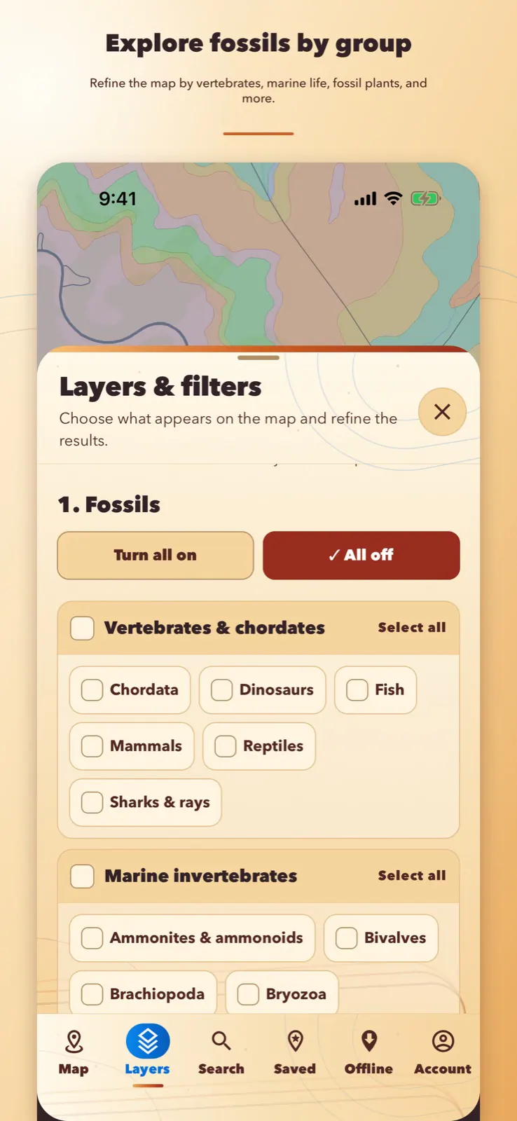
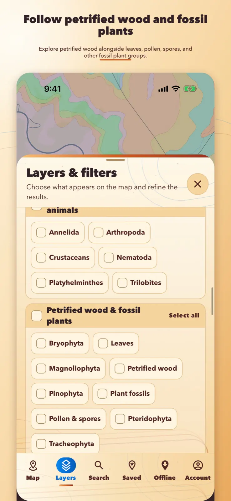
Explore fossil occurrences from the Paleobiology Database, with formation links, age, locality context, preservation details, citations, and original records.
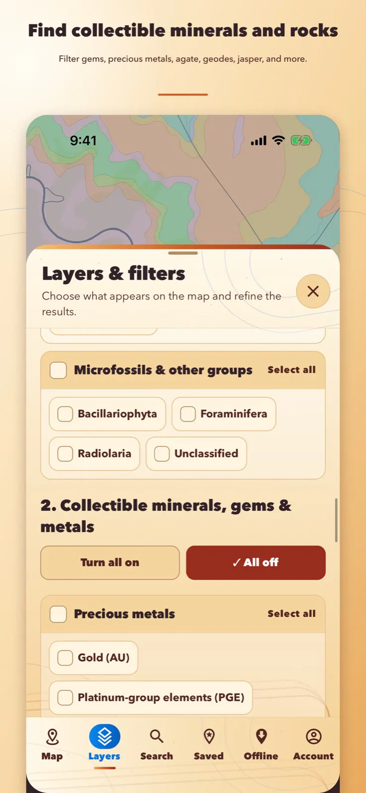
Filter mapped USGS records for collectible rocks, minerals, gems, and precious metals—without clutter from ordinary construction pits and quarries.
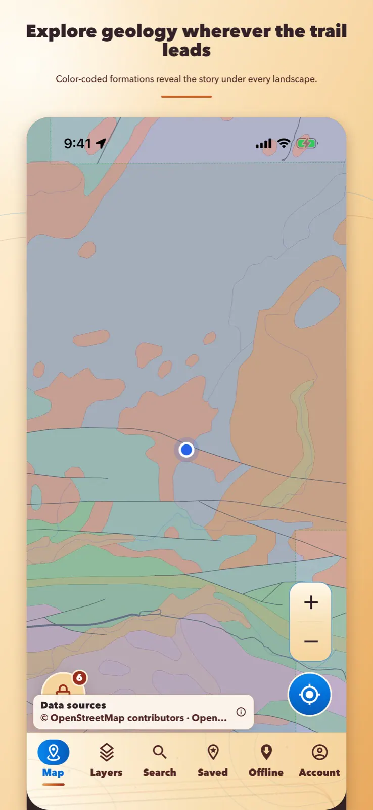
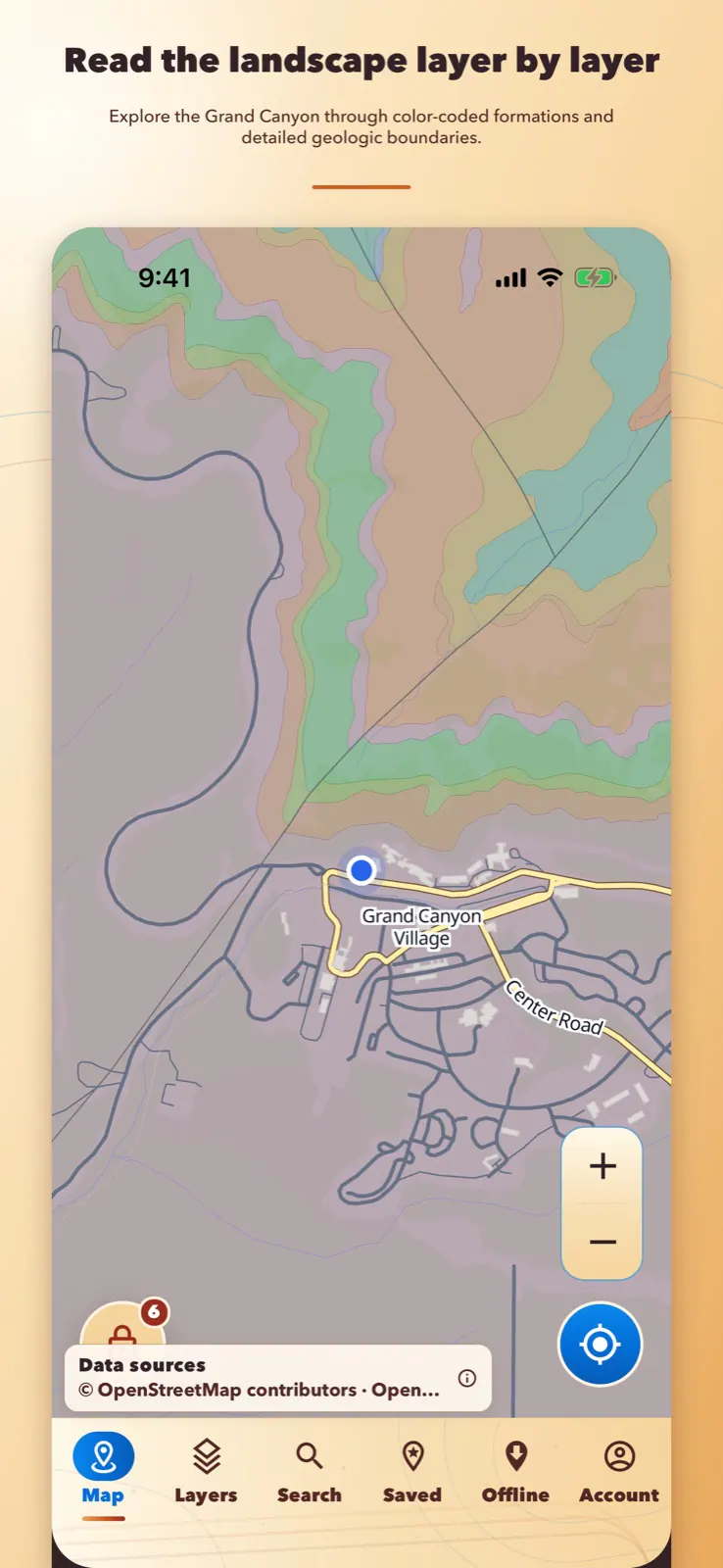
See consistently colored geologic units, adjust overlay visibility, and tap the map to learn about the formations beneath the landscape.
Add public-land layers to your research, then confirm current boundaries, access, and collecting rules with the responsible land manager.
Search for a city, address, or landmark, choose the right result, and immediately explore the geology and records around it.
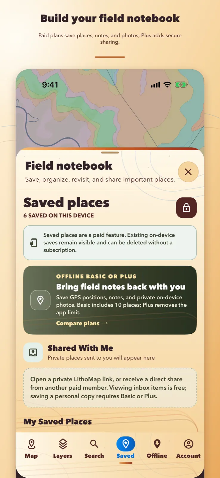
Save a location the moment it matters, give it a title, add notes and up to six photos, then search your collection and reopen that place on the map later.
Paid feature. Plan requirements are shown on the Plans page.
See LithoMap in the field
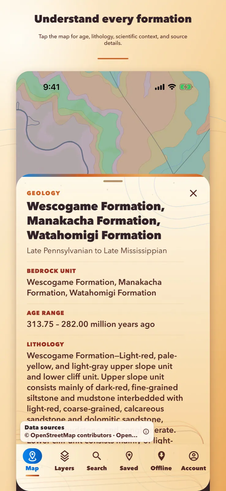
LithoMap does more than place dots and colors on a screen. Open a mapped feature to see the available formation, fossil, or mineral record details and the source behind them.
Paid feature. Plan requirements are shown on the Plans page.
Built for real curiosity
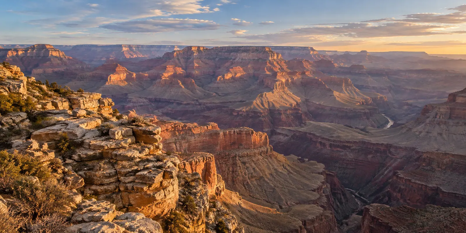
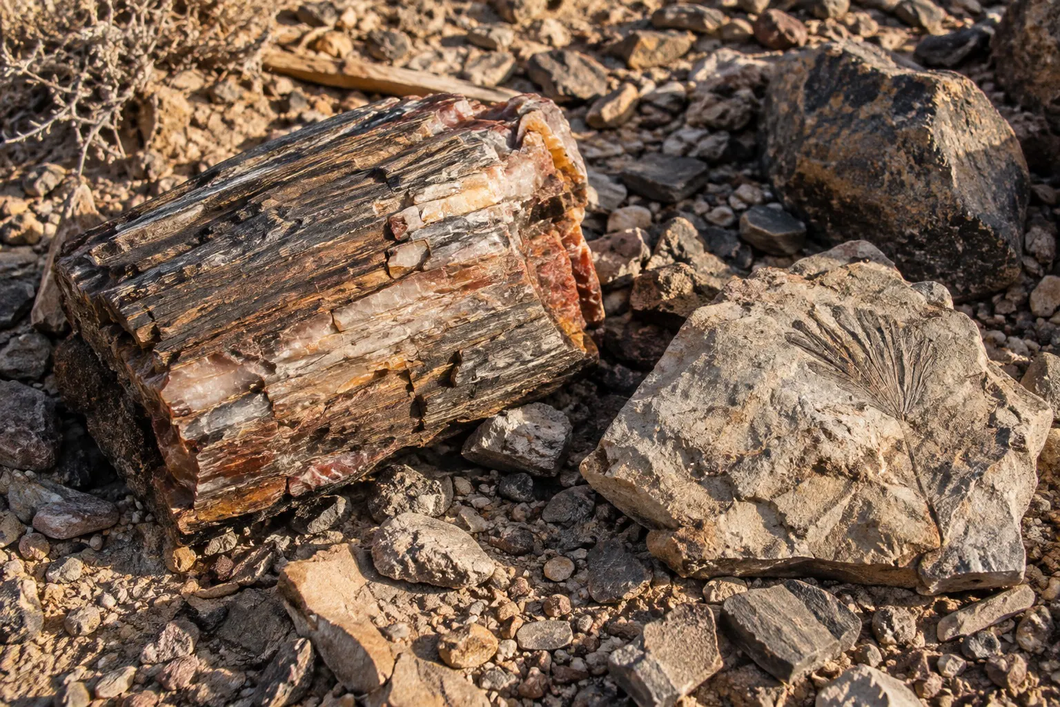
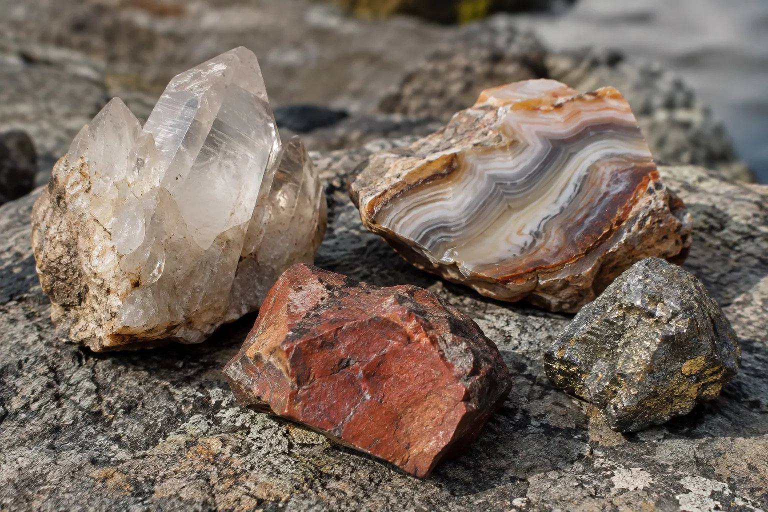
From canyon-scale layers to a piece of petrified wood or an unpolished mineral, LithoMap helps connect what catches your eye with the geology around it.
The feature built for the field
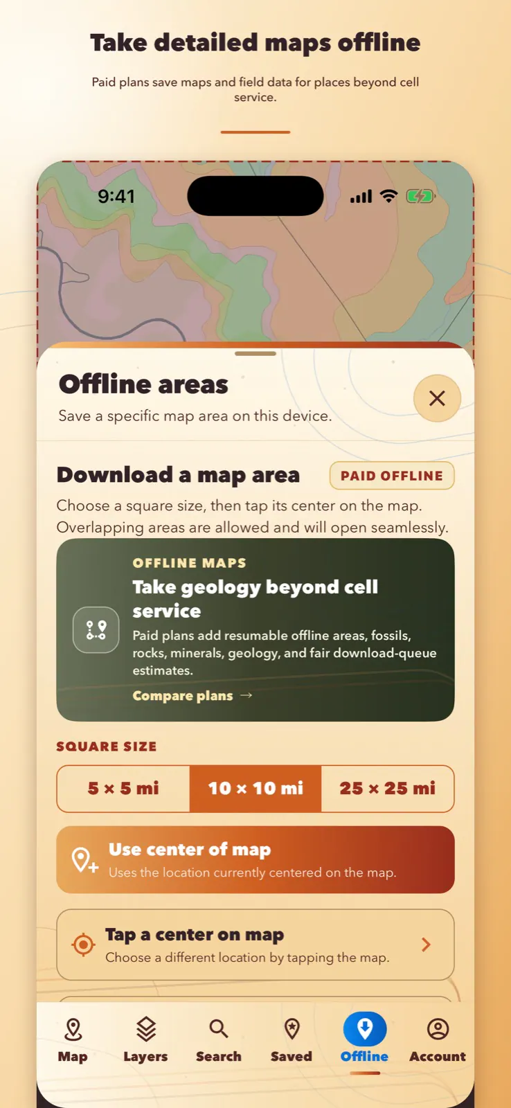
Save a selected area before you leave coverage and bring its map, geology, fossil records, public-land context, and available rock and mineral records with you. Interrupted downloads can resume instead of forcing you to start over.
Explore offline plansMore than colored shapes on a map
Choose the fossil, rock, mineral, gem, or metal categories you want to see.
See multiple matches for common place names, then choose the city, landmark, or address you actually mean.
Tap a geologic unit for its name, age, description, source, and related context.
Tap an available fossil, petrified wood, rock, or mineral record to see its reported name, scientific or locality context, source, and honest data limitations.
Adjust geology visibility between Light, Balanced, and Bold while labels and roads remain useful.
LithoMap assigns deterministic colors so the same unit stays recognizable across live and offline maps.
Offline Plus members can send a saved place directly to another paid member or create a secure seven-day link. Photos, email addresses, and real names are not included.
Requires Offline Plus.
Choose how far you want to go
Use the live map free without creating an account. Choose Basic or Plus when you want offline areas, private field notes, and more ways to organize a trip.
Explore the live map and research the geology and discoveries around you.
Try the complete Basic field kit free for 7 days, then keep it for occasional trips and focused offline areas.
More offline coverage, organization, and private sharing for frequent field explorers.
Need a little more? Active members can add 3 completed-download credits and 3 GB of transfer for a one-time $3.99. Credits remain available while the membership is active, and interrupted or failed downloads do not use them.
Built for return trips
Paid members can save their current GPS position in the field—even without a signal—then add a title, notes, and up to six private photos. Search saved places later and reopen any one on the map. The saved details, photo copies, and optional profile picture stay on the member’s device.
Paid feature. Plan requirements are shown on the Plans page.
Straight answers before the trail
Eligible new subscribers can choose the monthly or annual Offline Basic plan and use its paid features free for seven days. After the trial, the selected plan automatically renews at $5.99 per month or $49.99 per year unless canceled before the trial ends. Apple asks customers to cancel at least 24 hours before the trial ends. Apple or Google confirms eligibility, the renewal price, and the final terms before purchase. Introductory-trial eligibility is limited by the applicable store and subscription history.
LithoMap combines United States geology with fossil occurrences, petrified wood records, collectible rocks, minerals, gems, precious metals, and public-land context in one map.
Yes. A paid offline plan lets you save selected areas before a trip. Saved areas can include the base map, geology, fossil records, public-land context, and available rock and mineral records. Download and open an area once before leaving service so you can confirm it is ready.
LithoMap is designed for the United States, including all 50 states and the District of Columbia. What appears at a particular location depends on the coverage and detail available from each source dataset.
Paid feature. Plan requirements are shown on the Plans page.
Read all questions and answersAdventure starts with a better map