
United States geology
Explore geologic units in consistent colors, change overlay visibility, and tap any mapped unit for its name, age, description, and source.
Explore with better context
LithoMap brings geology and discovery records together, keeps the controls understandable, and gives field explorers useful tools when the signal disappears.
Download LithoMapPut U.S. geology in your pocket.Choose Google Play or the App Store.
Tap it. Understand it. Remember it.
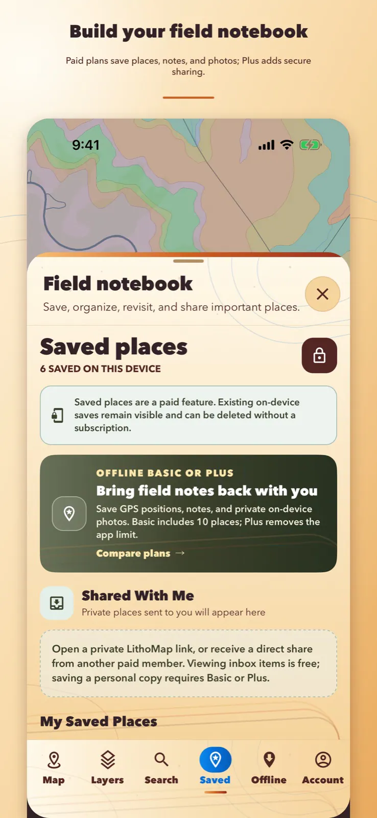
Open a formation to read its age and lithology. Follow fossil and mineral records back to their sources. When a place is worth returning to, save its GPS position, notes, and photos*—then share it privately with someone you trust*.
Paid feature. Plan requirements are shown on the Plans page.
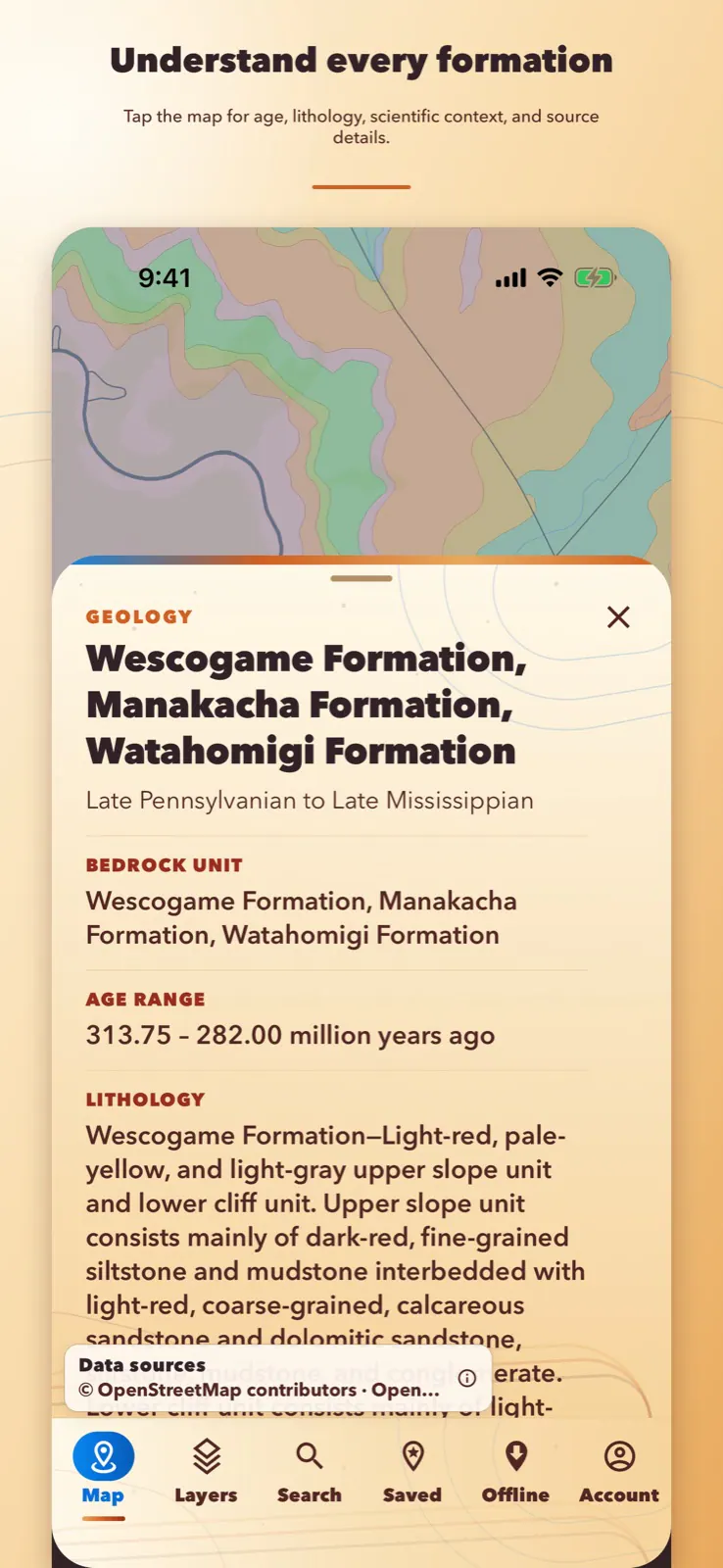
Explore geologic units in consistent colors, change overlay visibility, and tap any mapped unit for its name, age, description, and source.
Browse scientific fossil occurrences, including available petrified wood records, with locality, age, preservation, citation, and source details.
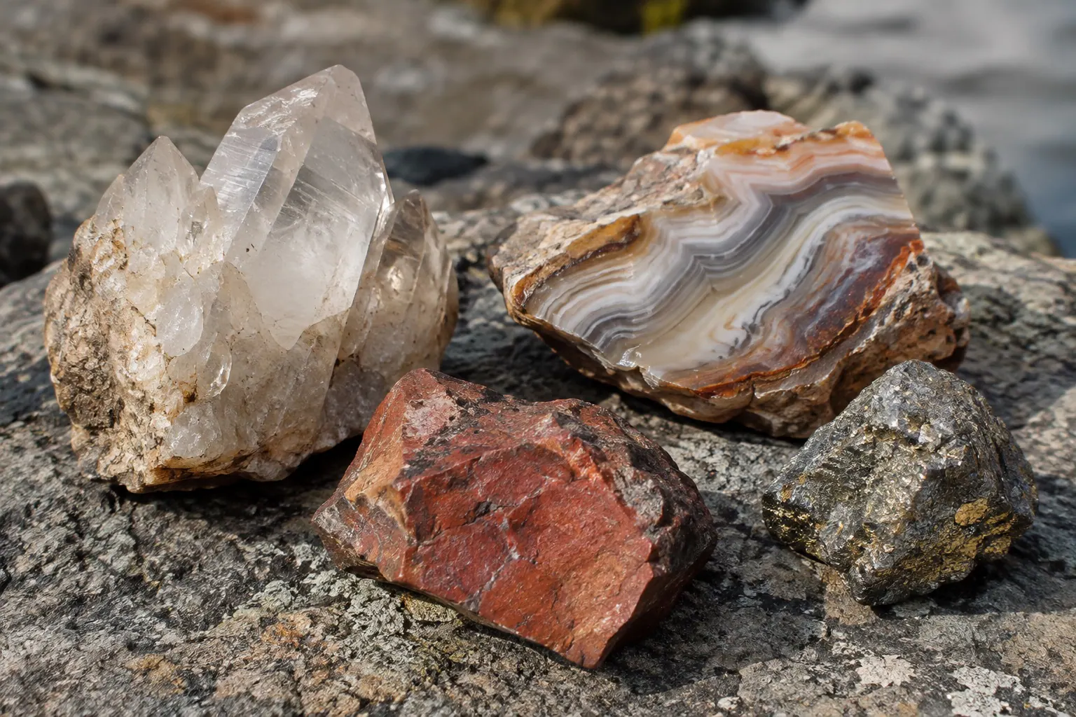
Focus the map on collectible rocks, minerals, gems, and precious metals without filling it with ordinary construction-material sites.
Search cities, landmarks, and addresses. When names repeat, LithoMap shows multiple results so you can choose the right place.
Download selected areas with the map and available geology, fossils, rocks, minerals, and public-land context. Pause and resume interrupted transfers.
Basic or PlusSave your GPS position online or offline, add a title and notes, search your saved places, and reopen any one on the map.
Basic or PlusAttach up to six photos to a saved place and choose an optional profile picture. LithoMap keeps its copies in private storage on that device.
Basic or PlusOrganize larger personal field collections with folders and searchable tags, then export them as GeoJSON.
Plus onlySend to a paid member’s exact LithoMap username or create a secure seven-day link. Photos, email addresses, and real names are not shared.
Plus onlyPaid feature. Plan requirements are shown on the Plans page.
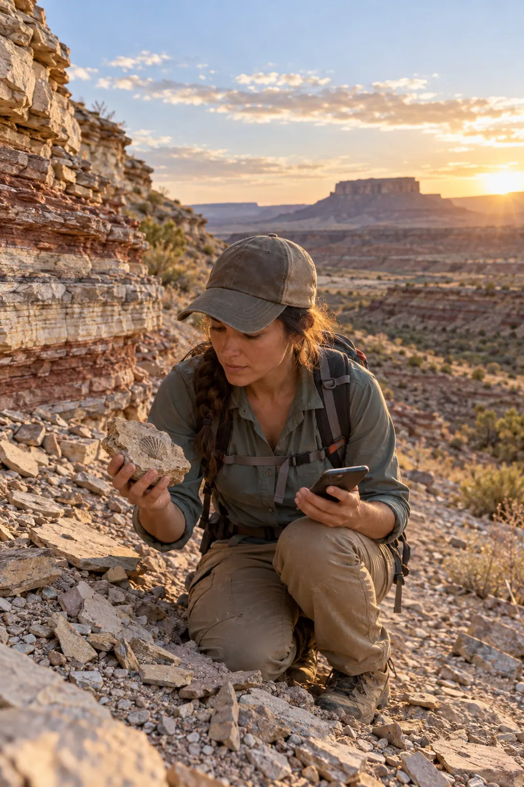
See more in every outcrop
Use LithoMap to understand the layers around you, focus on the discoveries you care about, and keep a private record of the places that deserve another look.
Designed for informed exploration
LithoMap preserves source attribution and scientific context. It does not turn approximate records into promises, and it never treats a map boundary as proof of access or permission to collect.