A better field day starts with the right expectations.
See what the map can tell you, what stays private on your phone, how paid offline tools work, and what you still need to verify with land managers before collecting.
Research the record. Respect the land. Keep looking closer.
How does the 7-day Offline Basic free trial work?*
Eligible new subscribers can choose the monthly or annual Offline Basic plan and use its paid features free for seven days. After the trial, the selected plan automatically renews at $5.99 per month or $49.99 per year unless canceled before the trial ends. Apple asks customers to cancel at least 24 hours before the trial ends. Apple or Google confirms eligibility, the renewal price, and the final terms before purchase. Introductory-trial eligibility is limited by the applicable store and subscription history.
What can I find with LithoMap?
LithoMap combines United States geology with fossil occurrences, petrified wood records, collectible rocks, minerals, gems, precious metals, and public-land context in one map.
Can I use LithoMap without cell service?*
Yes. A paid offline plan lets you save selected areas before a trip. Saved areas can include the base map, geology, fossil records, public-land context, and available rock and mineral records. Download and open an area once before leaving service so you can confirm it is ready.
Where does LithoMap work?
LithoMap is designed for the United States, including all 50 states and the District of Columbia. What appears at a particular location depends on the coverage and detail available from each source dataset.
Is LithoMap a navigation app?
No. LithoMap is a geology and field-reference app. Do not rely on it for turn-by-turn navigation, emergency decisions, current roads or trails, or safe route finding. Carry appropriate navigation and emergency resources for your trip.
Do I need an account to explore?
No. Live map exploration is available without an account. An account is needed for paid offline access and member sharing features.
What information appears when I tap the map?
Depending on what is available at that point, LithoMap can show a geologic unit name, age, lithology or description, fossil occurrence details, rock or mineral record details, locality context, citations, and a link or attribution to the original source.
Where does LithoMap get its data?
Geology comes from Macrostrat; fossils from the Paleobiology Database; rock, mineral, gem, and precious-metal occurrences from filtered USGS Mineral Resources Data System records; public-land context from PAD-US and BLM information; and the base map from OpenStreetMap contributors through OpenFreeMap. Attribution appears in the app and on the website.
Does a mapped fossil, rock, or mineral occurrence guarantee I will find something there?
No. Occurrence records can be historical, generalized, approximate, incomplete, incorrectly located, no longer exposed, or on inaccessible land. They are research leads, not guarantees of present-day material or permission to collect.
Why are petrified wood records included with fossils?
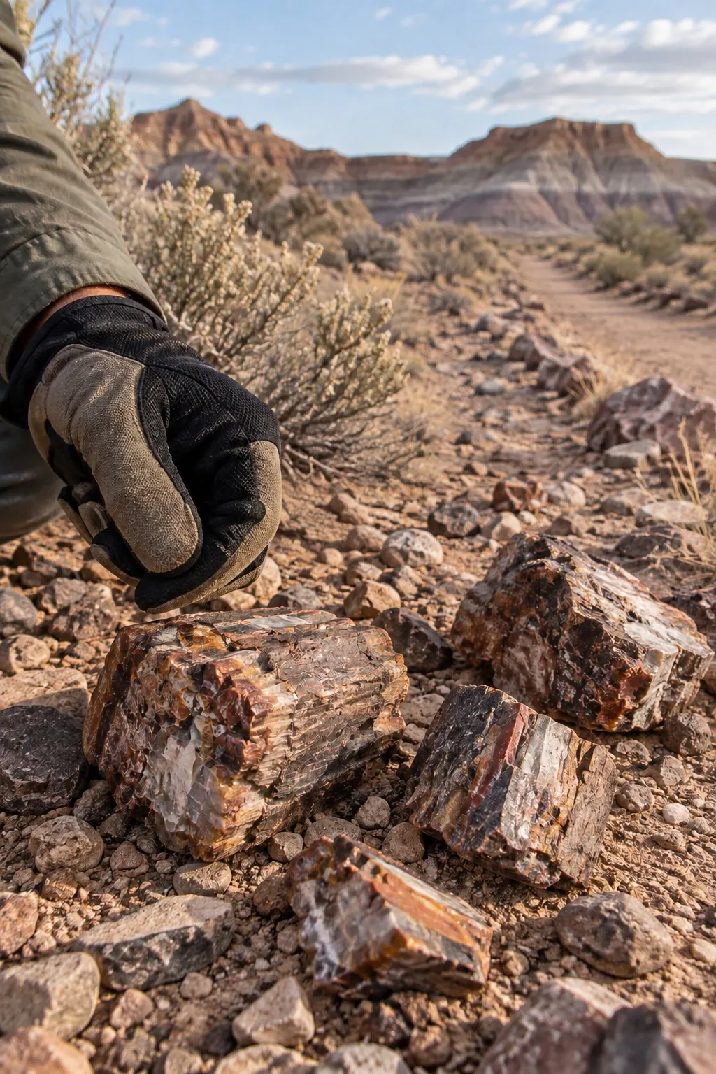
Petrified wood is fossilized plant material, so LithoMap presents available petrified wood records within its fossil discovery tools while still making them easy to recognize and find.
How specific are fossil identifications?
LithoMap shows the identification supplied by the Paleobiology Database. It displays an exact species only when the source record genuinely provides species-level identification; it does not invent a more precise name.
Are geologic colors consistent?
LithoMap assigns colors deterministically so the same mapped geologic unit remains recognizable across live and offline views. Closely related units and combined units can still have distinct colors because they represent different mapped geology.
How does place search handle common names?
LithoMap shows multiple matching cities, landmarks, or addresses instead of automatically choosing the first result. Descriptive location details help you select the Washington, Springfield, or other repeated place name you actually mean.
What happens if an offline download is interrupted?*
LithoMap is designed to preserve completed work and resume an interrupted download. Progress can briefly recalculate when the app reconnects. Keep the app available until it confirms the saved area is ready, then test it in airplane mode before your trip.
Are there limits on offline areas and downloads?*
Yes. Offline Basic and Offline Plus have different active-area, completed-download, and monthly-transfer allowances. The Plans page lists the current allowances and optional extra download credits.
Can I save field locations and photos?*
Paid members can save a GPS location with a title, notes, and up to six photos. Saved places, photo copies, and an optional profile picture stay in private storage on that device.
Do saved places and photos sync between devices?*
Not automatically. Saved places, attached photo copies, and an optional profile picture are stored privately on the device. Removing the app or losing the device can remove that local content unless you have exported or otherwise backed it up.
How does private place sharing work?*
Offline Plus members can send a saved place directly to another paid member by exact LithoMap username or create a secure seven-day link. Shared photos are never included. A recipient can read an accepted place in Shared With Me; a paid plan is required to copy it into editable saved places.
What information is shared with a place?*
A shared place can include its coordinates, title, notes, and organizational details needed to understand it. Photos, email addresses, real names, and profile pictures are not included. Secure invitation links expire after seven days and are intended for one recipient device.
Does LithoMap tell me where collecting is legal?
No. Maps, boundaries, and occurrence records are informational and may be incomplete or approximate. Always confirm current ownership, access, closures, permits, and collecting rules with the responsible land manager.
Are public-land boundaries legal property surveys?
No. Public-land and ownership context is approximate and informational. It does not establish a boundary, easement, access right, or permission to enter or collect. Use current official records and contact the responsible land manager or property owner.
How do I cancel a subscription or delete my account?
Cancel subscriptions through Apple App Store or Google Play settings. Deleting a LithoMap account is a separate action available inside the app and does not automatically cancel store billing or erase data stored locally on the device. The Account Deletion page explains each step.
How can I get support?
Visit the Support page for help with location, search, offline areas, accounts, privacy, and deletion. You can also email contact@ptwreferrals.com. Include your device type and a clear description of what happened, but never send a password or private invitation code.
* Paid feature. Plan requirements are shown on the Plans page.