
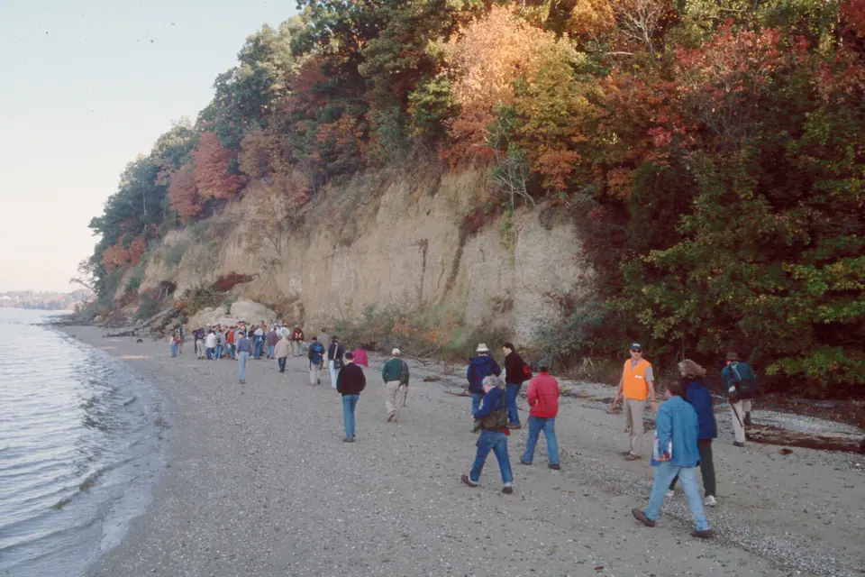

Where is the Yorktown Formation?
Yorktown deposits extend from Virginia and southern Maryland into North Carolina and parts of South Carolina, exposed along rivers, bluffs, excavations, and coastal-plain mines. Younger sediment commonly conceals the formation between exposures.
Members and local facies range from shelly glauconitic sand to silty clay and cross-bedded shell hash. Historical usage included beds now assigned to other formations, so modern map definitions matter.
How did it form?
Sand, mud, and abundant shells accumulated on a shallow continental shelf and within coastal embayments. Sea-level shifts moved shorelines and created repeated erosional surfaces, shell beds, and fining-upward sequences.
Glauconite and phosphate formed or were reworked in marine settings, while later weathering leached shells from some updip deposits. Regional uplift and falling sea level exposed the deposits to river erosion.
Fossil record
Bivalves, gastropods, barnacles, corals, bryozoans, ostracodes, foraminifera, fish, sharks, rays, and marine mammals are documented. Large scallops and other mollusks can dominate shell beds.
Fossil assemblages record water depth and temperature and vary among members. Fragile shells may remain intact in clay but become broken hash in higher-energy sand.
Compare observable anatomy in the fossil identification guides, then review the U.S. fossil collecting-law guide before disturbing any find. A formation-level record does not prove a fossil is present, exposed, common, or legal to collect at a particular place.
Minerals and geological resources
Quartz sand and clay minerals dominate, with calcite in shells and cement, plus glauconite and phosphate grains in some intervals. Iron oxides color weathered exposures.
Sand and shell material have local aggregate significance, while phosphate-rich beds are regionally important. Mine and spoil access is controlled by owners and operating rules.
Identify rocks and minerals named in this guide
Use physical properties to investigate materials discussed above. A formation name or mapped location supports context, but it cannot identify a hand sample by itself.
What to know in the field
- River bluffs and excavated faces can collapse even when the sediment looks compact.
- Do not enter mines or collect from spoil without current permission.
- Member names and age assignments differ among states and historical reports.
Formation, fossil, and mineral information is educational. It does not establish land ownership, legal access, collecting permission, specimen identity, or present-day field conditions.
Authoritative sources
This guide synthesizes the following sources in original language. Consult the linked records for local stratigraphic detail and the underlying scientific literature.
- Geolex Yorktown references U.S. Geological Survey
- Central Atlantic Coastal Plain stratigraphy U.S. Geological Survey
Editorial review: September 16, 2026.