
.jpg)
Where is the Citronelle Formation?
Citronelle deposits cap broad uplands from Mississippi and Alabama into the Florida Panhandle, with related usage in Louisiana. Younger terraces cut below or overlap its margins, and older Coastal Plain formations lie beneath an erosional contact.
Its mapped limits and correlation have changed because deeply weathered sand and gravel can resemble younger terrace deposits. Some areas historically called Citronelle may not belong to the same depositional episode.
How did it form?
Large rivers deposited cross-bedded sand and gravel, with quieter floodplain or abandoned-channel settings preserving silt and clay. Some Florida sections may include nearshore influence.
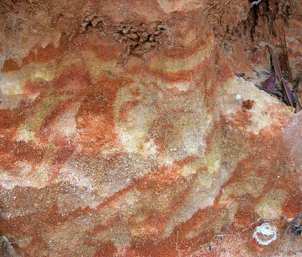
Long weathering produced red and orange iron coatings, kaolinite-rich clay, and resistant iron-cemented horizons. Erosion later dissected the once broader upland surface.
Fossil record
Fossils are sparse and usually not diagnostic. Plant remains, pollen, and rare vertebrate evidence have contributed to competing Pliocene and Pleistocene age interpretations.
The limited fossil record means age is commonly inferred from regional position, weathering, and correlation. A single isolated fossil or gravel clast cannot resolve the formation’s age.
Compare observable anatomy in the fossil identification guides, then review the U.S. fossil collecting-law guide before disturbing any find. A formation-level record does not prove a fossil is present, exposed, common, or legal to collect at a particular place.
Minerals and geological resources
Quartz dominates sand and gravel, while kaolinite and illite are important clay minerals. Hematite, goethite, manganese oxides, and locally gibbsite occur in weathering coatings or cement.
Sand and gravel are local construction resources. Iron-cemented layers and clay lenses strongly influence drainage, slope stability, and shallow groundwater.
Identify rocks and minerals named in this guide
Use physical properties to investigate materials discussed above. A formation name or mapped location supports context, but it cannot identify a hand sample by itself.
What to know in the field
- Red sand and gravel alone are not sufficient for identification because younger terraces can look similar.
- Borrow pits and quarries require permission and may have unstable faces or equipment traffic.
- Age and regional correlations remain scientifically qualified rather than fixed everywhere.
Formation, fossil, and mineral information is educational. It does not establish land ownership, legal access, collecting permission, specimen identity, or present-day field conditions.
Authoritative sources
This guide synthesizes the following sources in original language. Consult the linked records for local stratigraphic detail and the underlying scientific literature.
- Geolex Citronelle references U.S. Geological Survey
- Quaternary map of the Mobile region U.S. Geological Survey
Editorial review: September 16, 2026.