

Where is the John Day Formation?
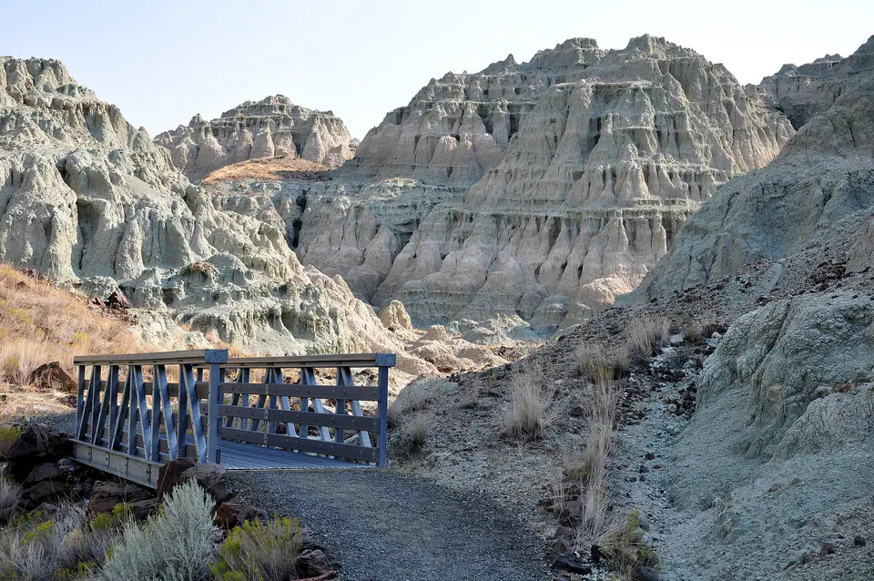
The formation is widespread in north-central Oregon and is spectacularly exposed in the Sheep Rock and Painted Hills areas. It includes several members and fossil-bearing intervals deposited over roughly twenty million years.
Blue-green claystone, painted paleosols, pale tuff, and channel sandstone are all expressions of the same broad formation. No single color or landform represents its full history.
How did it form?
Explosive eruptions from regional volcanic centers repeatedly spread ash across rivers, lakes, floodplains, and soils. Ash was reworked by water, altered to clay, welded into tuff, or mixed with ordinary sediment.
Members record environmental change from humid lake and forest settings to progressively cooler, drier floodplains. Dated ash layers provide time markers that let geologists compare biological and climatic change.
Fossil record
The formation preserves fossil leaves, seeds, fish, amphibians, reptiles, and a rich mammal record including early horses, oreodonts, rhinoceros relatives, predators, and rodents. Different members contain distinct communities.
Fine lake beds preserve delicate plants and small animals, while floodplain paleosols and channel deposits more often contain mammal bones and teeth. Stratigraphic position is essential to interpreting any specimen.
Compare observable anatomy in the fossil identification guides, then review the U.S. fossil collecting-law guide before disturbing any find. A formation-level record does not prove a fossil is present, exposed, common, or legal to collect at a particular place.
Minerals and geological resources
Volcanic glass altered into clay minerals, zeolites, and other secondary phases. Feldspar and quartz occur in ash and sediment, while the blue-green Turtle Cove beds contain celadonite formed during water-rock alteration.
Iron minerals color red and yellow paleosols, and silica helps cement some ash beds. The formation’s colors reflect alteration and soil development rather than a single collectible mineral seam.
Identify rocks and minerals named in this guide
Use physical properties to investigate materials discussed above. A formation name or mapped location supports context, but it cannot identify a hand sample by itself.
What to know in the field
- All fossils, rocks, and natural materials are protected within John Day Fossil Beds National Monument.
- Ash-rich clay slopes become slick when wet and erode easily under foot traffic.
- A fossil removed without exact member and bed information loses much of its scientific meaning.
Formation, fossil, and mineral information is educational. It does not establish land ownership, legal access, collecting permission, specimen identity, or present-day field conditions.
Authoritative sources
This guide synthesizes the following sources in original language. Consult the linked records for local stratigraphic detail and the underlying scientific literature.
- John Day Formation National Park Service
- Geologic formations at John Day Fossil Beds National Park Service
- John Day Formation reconnaissance U.S. Geological Survey
Editorial review: September 16, 2026.