

Where is the Monterey Formation?
Monterey rocks occur in separate coastal and offshore basins from southern through central California. They are especially prominent in the Coast Ranges and around the Santa Barbara, Santa Maria, Ventura, and Los Angeles basins, but thickness, age range, and member names differ sharply among those areas.
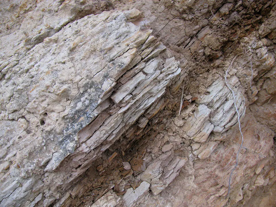
Faulting and folding have tilted many outcrops, and similar-looking siliceous units may belong to different local members. A regional formation label therefore needs to be checked against a detailed geologic map before it is applied to a particular exposure.
How did it form?
Diatoms and other microscopic organisms supplied silica and organic matter to offshore basins, while clay, volcanic material, and carbonate entered in changing proportions. Burial converted biogenic opal to progressively more ordered silica, producing diatomite, porcelanite, and chert as temperature increased.
Tectonic subsidence, restricted circulation, high biological productivity, and later compression created a complex mosaic rather than one uniform layer. Fractures and folds later helped make parts of the formation important petroleum reservoirs and source rocks.
Fossil record
Diatoms, foraminifera, radiolarians, fish remains, marine mammals, and mollusks occur in suitable beds. Microscopic fossils are especially valuable for correlating sections and reconstructing ocean productivity and water conditions.
Fossils are not evenly visible: hard chert may show little without laboratory work, while softer diatomaceous or calcareous intervals can preserve abundant microfossils and occasional larger remains.
Compare observable anatomy in the fossil identification guides, then review the U.S. fossil collecting-law guide before disturbing any find. A formation-level record does not prove a fossil is present, exposed, common, or legal to collect at a particular place.
Minerals and geological resources
Silica occurs as opal, cristobalite-tridymite, and quartz depending on burial history. Clay minerals, calcite, dolomite, feldspar, and pyrite also occur, and phosphatic material is locally present.
Oil and natural gas are geologic resources rather than minerals. Organic-rich beds, fractures, and silica alteration have major economic importance, but weathered coastal exposures can also be weak, landslide-prone, and unsafe to climb.
Identify rocks and minerals named in this guide
Use physical properties to investigate materials discussed above. A formation name or mapped location supports context, but it cannot identify a hand sample by itself.
What to know in the field
- Thin beds may be tightly folded, faulted, and deceptively unstable along sea cliffs and roadcuts.
- Beach access, tide, and cliff-fall hazards can change rapidly; observe closures and property boundaries.
- Use a local member name and basin framework when comparing ages or rock character.
Formation, fossil, and mineral information is educational. It does not establish land ownership, legal access, collecting permission, specimen identity, or present-day field conditions.
Authoritative sources
This guide synthesizes the following sources in original language. Consult the linked records for local stratigraphic detail and the underlying scientific literature.
- Geology of the Palos Verdes Peninsula U.S. Geological Survey
- Geolex Monterey references U.S. Geological Survey
Editorial review: September 16, 2026.