
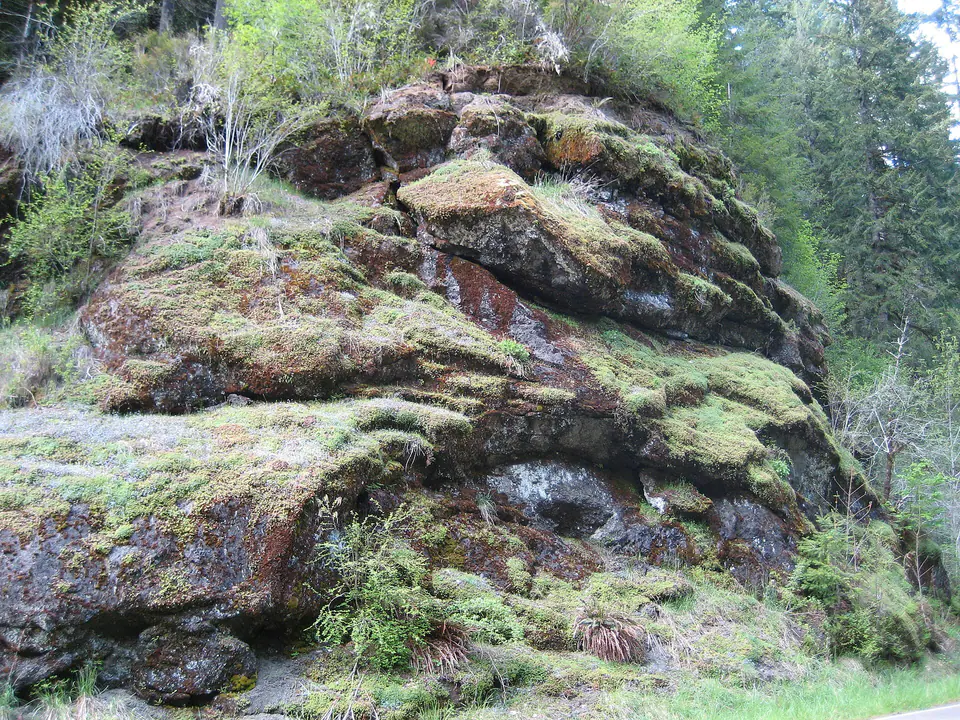

Where is the Siletz River Volcanics?
The unit is exposed in the central Oregon Coast Range and continues widely in the subsurface. Deep river canyons reveal volcanic sections that may be thousands of feet thick, while younger marine sediment covers broad areas.
Correlations become more complicated toward northern Oregon, where younger volcanic units were once grouped with the Siletz River rocks. Modern maps separate those packages using age, chemistry, magnetic polarity, and stratigraphic position.
How did it form?
Fluid basalt erupted underwater and formed rounded pillow structures, breccia, and tuff; massive flows and intrusions developed around volcanic centers. Marine siltstone and sandstone accumulated between some eruptive episodes.
The volcanic plateau was later attached to North America, uplifted, and eroded. Circulating fluids altered volcanic glass and filled fractures and pillow cavities with secondary minerals.
Fossil record
The basalt itself is generally unfossiliferous. Interbedded marine sediment can preserve microfossils, and fossils in overlying strata help constrain when eruption and accretion occurred.
Fossil scarcity is meaningful: repeated lava and coarse volcanic debris created harsh depositional settings, while only quieter sedimentary intervals offered conditions favorable for preservation.
Compare observable anatomy in the fossil identification guides, then review the U.S. fossil collecting-law guide before disturbing any find. A formation-level record does not prove a fossil is present, exposed, common, or legal to collect at a particular place.
Minerals and geological resources
Plagioclase, pyroxene, magnetite, and altered volcanic glass dominate the primary rock. Cavities and fractures may contain calcite, quartz, pyrite, smectite, and zeolites including analcime, stilbite, heulandite, natrolite, and laumontite.
Zeolite assemblages vary from site to site and record alteration rather than a continuous mineral zone. Roadcuts, quarries, and river canyons require permission and careful hazard assessment.
Identify rocks and minerals named in this guide
Use physical properties to investigate materials discussed above. A formation name or mapped location supports context, but it cannot identify a hand sample by itself.
What to know in the field
- Pillow structures are easiest to interpret in intact outcrop, not from isolated rounded float blocks.
- Coast Range slopes are commonly wet, vegetated, and prone to falling rock or debris movement.
- Check local maps because related Eocene basalts have been revised and subdivided.
Formation, fossil, and mineral information is educational. It does not establish land ownership, legal access, collecting permission, specimen identity, or present-day field conditions.
Authoritative sources
This guide synthesizes the following sources in original language. Consult the linked records for local stratigraphic detail and the underlying scientific literature.
- Geologic history of Siletzia U.S. Geological Survey
- Zeolites in Siletz River pillow lavas U.S. Geological Survey
- Oregon Coast Range groundwater geology U.S. Geological Survey
Editorial review: September 16, 2026.