
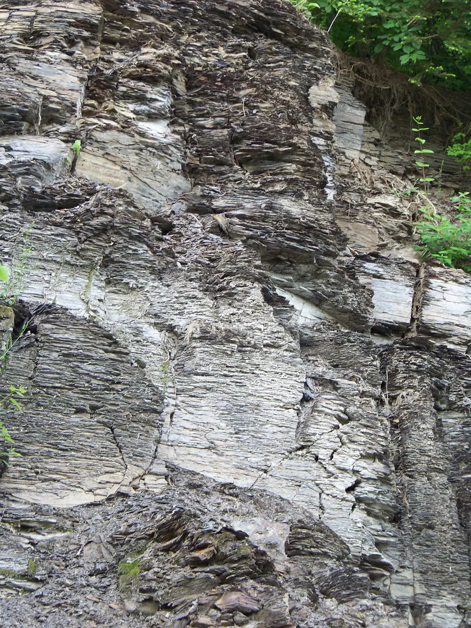

Where is the Marcellus Shale?
The Marcellus extends through much of the Appalachian Basin from New York and Pennsylvania into adjoining Mid-Atlantic and central Appalachian states. It is exposed in some folded and uplifted areas but lies deeply buried across much of its gas-producing extent.
Formal usage changes geographically: maps may call it a shale, a formation, or a member within another formation or group. These are not necessarily contradictions; stratigraphic rank and bounding units can change as the rock body changes across the basin.
How did it form?
Dark, fine-grained sediment accumulated in a marine basin where limited oxygen at the seafloor slowed the decay of organic matter. Periodic changes in circulation, sediment supply, and water depth produced lighter shale, siltstone, carbonate beds, and fossil-rich horizons.
Burial converted organic matter into hydrocarbons and compacted the mud into low-permeability shale. Modern production generally depends on horizontal drilling and hydraulic fracturing, so surface outcrops do not resemble the engineered reservoir conditions found kilometers underground.
Fossil record
Fossils include marine brachiopods, bivalves, cephalopods, corals, crinoid debris, and microscopic organisms, with abundance controlled by oxygen levels and local facies. Some carbonate-rich or marginal intervals are much more fossiliferous than the darkest shale.
A black, organic-rich layer may preserve few obvious body fossils even while retaining chemical and microscopic evidence of marine life. Fossil content should therefore be described by member and locality rather than assumed from the formation name alone.
Compare observable anatomy in the fossil identification guides, then review the U.S. fossil collecting-law guide before disturbing any find. A formation-level record does not prove a fossil is present, exposed, common, or legal to collect at a particular place.
Minerals and geological resources
Clay minerals, quartz, and carbonate minerals such as calcite and dolomite make up much of the rock. Pyrite is common in oxygen-poor marine shale, and small amounts of feldspar and other detrital minerals occur.
Natural gas is a geological resource derived from organic matter, not a mineral. Pyrite-bearing shale can generate acidic drainage when freshly exposed, and drilling-related minerals or salts at industrial sites should never be treated as collectible material.
Identify rocks and minerals named in this guide
Use physical properties to investigate materials discussed above. A formation name or mapped location supports context, but it cannot identify a hand sample by itself.
What to know in the field
- Much of the formation is subsurface; a production map is not the same thing as an outcrop map.
- Roadcuts and quarries require owner or agency permission and may have falling-rock and traffic hazards.
- Stratigraphic rank and member names differ among states, so cite the local geological survey map.
Formation, fossil, and mineral information is educational. It does not establish land ownership, legal access, collecting permission, specimen identity, or present-day field conditions.
Authoritative sources
This guide synthesizes the following sources in original language. Consult the linked records for local stratigraphic detail and the underlying scientific literature.
- Geolex Marcellus unit record U.S. Geological Survey
- Appalachian Basin black-shale stratigraphic framework U.S. Geological Survey
Editorial review: September 16, 2026.