
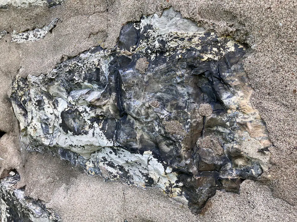

Where is the Onondaga Limestone?
The Onondaga is prominent across New York and extends through parts of Pennsylvania, Maryland, Virginia, and West Virginia under varying names and ranks. It crops out in belts around the Appalachian Basin and continues deeply underground.
Chert content, member names, and carbonate texture change along the shelf. Some regional equivalents replace the Onondaga name, so a basin-wide correlation is broader than a single identical rock layer.
How did it form?
Lime mud and skeletal debris accumulated in warm shallow water on a broad shelf. Reefs, banks, quieter offshore zones, and periodic mud input produced different limestone textures and shaly partings.
Silica released during burial formed black or gray chert nodules and beds, while calcite cement and local dolomitization modified pore space. Later Appalachian deformation fractured and folded the unit.
Fossil record
Corals, stromatoporoids, brachiopods, bryozoans, trilobites, gastropods, cephalopods, and crinoid fragments occur in many beds. Reef or shell-bank facies can be exceptionally fossiliferous.
Fossil communities differ across the ancient shelf, and silicification may preserve details in chert. Collecting legality and scientific sensitivity still depend on the site and land manager.
Compare observable anatomy in the fossil identification guides, then review the U.S. fossil collecting-law guide before disturbing any find. A formation-level record does not prove a fossil is present, exposed, common, or legal to collect at a particular place.
Minerals and geological resources
Calcite is the principal mineral, accompanied by quartz or microcrystalline silica in chert, clay minerals in partings, and local dolomite and pyrite.
Limestone has aggregate, cement, and groundwater significance. Solution openings can transmit water rapidly and may contribute to karst features in suitable structural settings.
Identify rocks and minerals named in this guide
Use physical properties to investigate materials discussed above. A formation name or mapped location supports context, but it cannot identify a hand sample by itself.
What to know in the field
- Chert edges are sharp, and limestone ledges can fail along joints or solution-enlarged fractures.
- Quarries and roadcuts require permission and careful traffic or highwall precautions.
- Use local member and equivalent-unit names when comparing New York with central Appalachian sections.
Formation, fossil, and mineral information is educational. It does not establish land ownership, legal access, collecting permission, specimen identity, or present-day field conditions.
Authoritative sources
This guide synthesizes the following sources in original language. Consult the linked records for local stratigraphic detail and the underlying scientific literature.
- Geolex Onondaga references U.S. Geological Survey
- Kentucky and Appalachian Devonian correlations U.S. Geological Survey
Editorial review: September 16, 2026.