
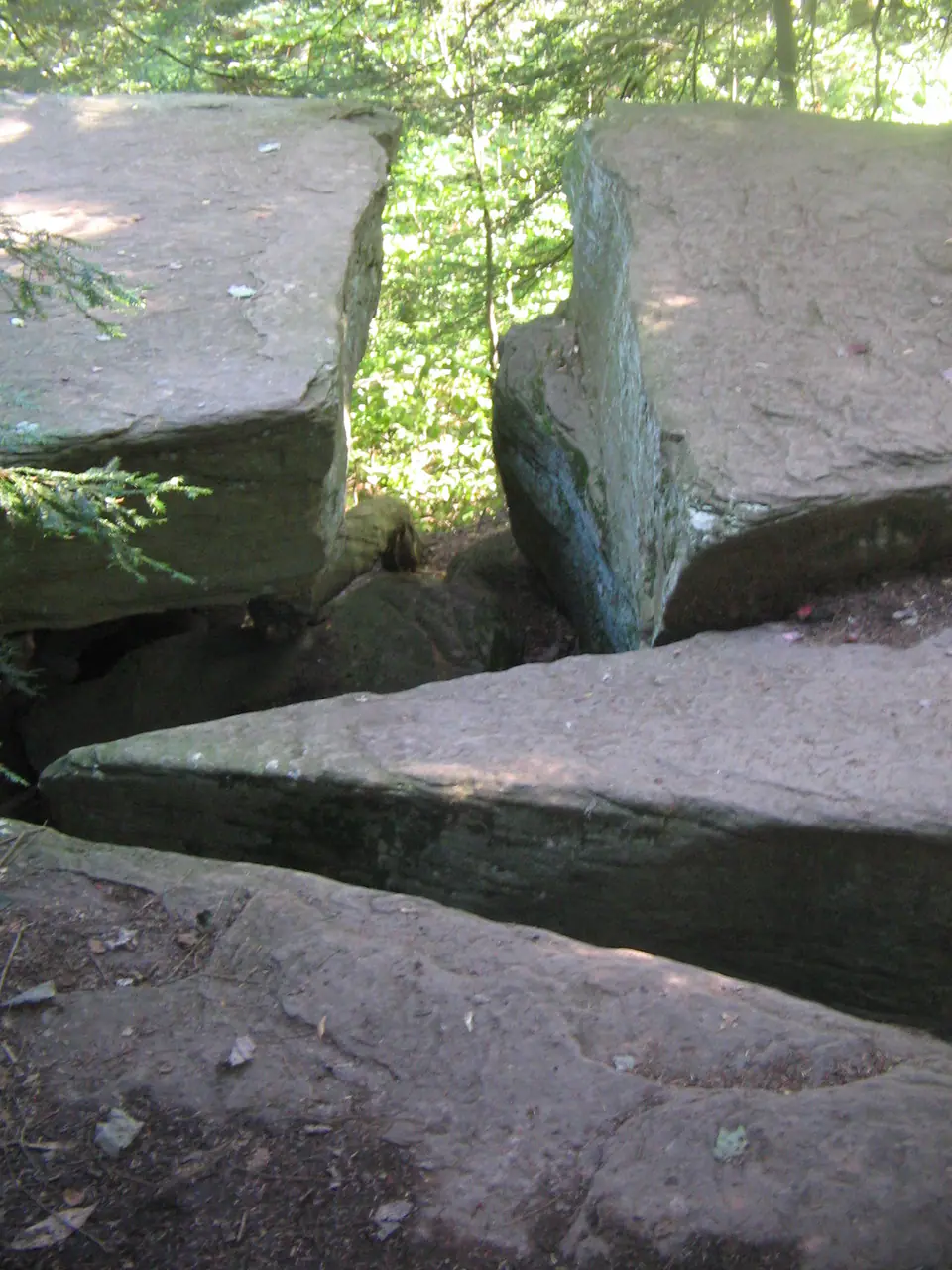

Where is the Pocono Formation?
Pocono rocks form prominent ridges and escarpments across parts of Pennsylvania, Maryland, Virginia, and West Virginia. Regional subdivisions may be mapped as formations within a Pocono Group where they can be traced.
Massive sandstone is conspicuous, but thinner shale, siltstone, and local conglomerate are important parts of the succession. Terminology changes substantially from one state and outcrop belt to another.
How did it form?
Quartz sand and mud accumulated in channels, deltas, coastal plains, and shallow water as sediment entered the Appalachian basin from the east. Cross-bedding, channel forms, and upward changes in grain size record shifting environments.
Appalachian compression later folded and fractured the beds. Resistant sandstone now supports ridges while weaker shale erodes into slopes and gaps.
Fossil record
Plant fragments, spores, trace fossils, and locally marine invertebrates occur, especially in finer lower beds. Many thick sandstone intervals yield few or no body fossils.
The mixed terrestrial and marine record varies by member. A fossil-poor ridge-top quartz sandstone is compatible with the formation but not diagnostic by itself.
Compare observable anatomy in the fossil identification guides, then review the U.S. fossil collecting-law guide before disturbing any find. A formation-level record does not prove a fossil is present, exposed, common, or legal to collect at a particular place.
Minerals and geological resources
Quartz is dominant, with feldspar, mica, clay minerals, and local kaolinite or carbonate cement. Iron oxides stain weathered surfaces, and quartz pebbles occur in conglomeratic beds.
Sandstone has supplied local building stone and aggregate, while fractures can transmit groundwater. Resource or aquifer behavior varies with cementation and structure.
Identify rocks and minerals named in this guide
Use physical properties to investigate materials discussed above. A formation name or mapped location supports context, but it cannot identify a hand sample by itself.
What to know in the field
- Massive ledges can be undercut along shale beds and may release large blocks.
- Confirm whether the local map uses Pocono as a formation or group.
- Ridge exposures commonly cross protected or private land; mapped rock does not grant access.
Formation, fossil, and mineral information is educational. It does not establish land ownership, legal access, collecting permission, specimen identity, or present-day field conditions.
Authoritative sources
This guide synthesizes the following sources in original language. Consult the linked records for local stratigraphic detail and the underlying scientific literature.
- Central Appalachian bedrock geology U.S. Geological Survey
- Pocono stratigraphic treatment U.S. Geological Survey
Editorial review: September 16, 2026.