
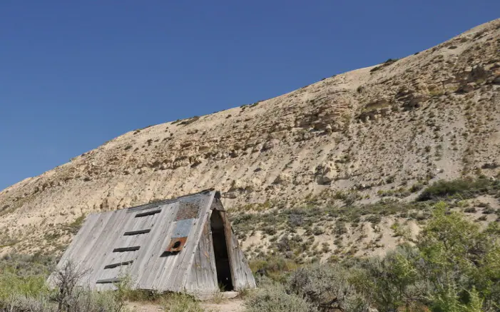
.jpg)
Major geologic regions of Wyoming
Mountain uplifts
Ranges such as the Wind River, Bighorn, Medicine Bow, and Laramie Mountains expose Precambrian cores flanked by tilted Paleozoic and Mesozoic strata.
Structural basins
The Green River, Powder River, Bighorn, Wind River, Hanna, and other basins contain thick sedimentary successions, energy resources, aquifers, and fossil-bearing units.
Overthrust Belt and western ranges
Compression stacked and folded sedimentary rocks along major thrust systems in western Wyoming, producing complex structures and hydrocarbon traps.
Yellowstone and Absaroka region
Cenozoic volcanism built the Absaroka volcanic province, while the younger Yellowstone system produced calderas, lava, ash, earthquakes, and modern hydrothermal features.
Geologic history
Wyoming’s Precambrian record includes some of North America’s oldest crust, younger intrusions, metamorphic belts, and ancient sedimentary rocks with stromatolites. Paleozoic seas repeatedly advanced across this foundation, depositing sandstone, shale, limestone, dolostone, and evaporites.
Mesozoic environments alternated between deserts, rivers, floodplains, shorelines, and the Western Interior Seaway. Dinosaur-bearing Morrison strata formed during continental conditions, while Cretaceous marine shale and sandstone record changing sea levels. Sevier compression affected the west before Laramide deformation raised widely spaced basement-cored mountains.
Rising ranges shed sediment into subsiding basins during the Paleogene. Large Eocene lakes produced the Green River Formation, and volcanism spread ash and volcanic debris. Regional uplift, river incision, Pleistocene glaciers, Yellowstone volcanism, and continuing earthquakes shaped the younger landscape.
Common and significant rocks and minerals
Granite, gneiss, and ancient metamorphic rock
Precambrian basement is exposed in mountain cores and includes exceptionally old continental crust.
Sandstone, shale, limestone, and dolostone
Thick sedimentary sequences flank ranges and fill basins, recording seas, shorelines, rivers, deserts, and lakes.
Trona, bentonite, and gypsum
Lake chemistry, volcanic ash alteration, and evaporative settings created major industrial-mineral resources in particular basins.
Coal, uranium, oil, and gas host rocks
Energy resources are tied to specific depositional and structural settings; their presence does not indicate safe or lawful collecting.
Jade, agate, petrified wood, and volcanic minerals
Collectible materials occur locally, but transport, claims, private land, and protected areas complicate provenance and access.
A statewide occurrence does not mean a material is present, collectible, or economically valuable at a particular location. Confirm the mapped unit, land status, and applicable rules.
Fossil record
Wyoming preserves stromatolites, Paleozoic marine organisms, Jurassic dinosaurs, Cretaceous marine reptiles and shells, and exceptional Cenozoic fish, plants, insects, mammals, and reptiles. Fossil Butte represents one lake setting within the much broader Green River system.
Fossil distribution changes between members and basins. National parks and monuments prohibit collecting, and vertebrate fossils on federal land generally require a research permit. Scientific usefulness depends on preserving location and layer information.
Use the fossil identification guides to compare anatomy and preservation, and check the collecting-law guide before touching or moving a find. Statewide fossil history does not establish site-level presence, ownership, access, or permission.
Groundwater and geologic hazards
Groundwater occurs in basin-fill sediment, regional sandstone and carbonate aquifers, fractured bedrock, and local alluvium. Structural complexity, confining shale, evaporites, geothermal systems, and energy development influence flow and chemistry.
Earthquakes, landslides, rockfall, swelling soil, subsidence, abandoned mines, wildfire-related debris flows, and volcanic or hydrothermal hazards vary across Wyoming. Yellowstone restrictions and monitoring guidance take precedence over general geology.
Field notes and limitations
- Weather changes rapidly in high, exposed terrain; plan for cold, wind, lightning, and isolation.
- Hot springs and hydrothermal crust can be lethal—remain on authorized boardwalks and trails.
- Do not enter mines, approach active energy facilities, or assume open land permits collecting.
- Use basin and member names when comparing Green River or other widespread formations.
This guide is educational. It is not a legal boundary, access determination, mineral-rights opinion, professional hazard assessment, water-well evaluation, or collecting authorization.
Authoritative state geology sources
LithoMap wrote this guide in original language from the broad patterns supported by these state geological-survey and agency resources.
- Geologic History of Wyoming Wyoming State Geological Survey
- Wyoming geologic data portal Wyoming State Geological Survey
- Paleozoic fossil record Wyoming State Geological Survey
Editorial review: September 17, 2026.