
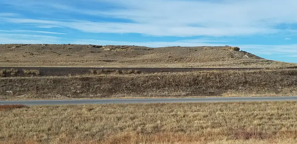

Where is the Fox Hills Sandstone?
Fox Hills strata extend through parts of the Dakotas, Montana, Wyoming, and Colorado, commonly between offshore Pierre Shale and younger continental deposits. They form sandy ridges and ledges where exposed and continue beneath broad areas of younger cover.
The transition into adjacent formations is commonly intertonguing rather than a single sharp surface. Thickness, member names, and even the precise time represented change between the Williston, Powder River, Denver, and other basins.
How did it form?
As the Western Interior Seaway withdrew, sand accumulated on beaches, shorefaces, barrier islands, tidal deltas, and inlets. Mud remained in quieter offshore and lagoonal settings, producing repeated sandstone-to-shale transitions.
Wave and tidal structures, coarsening-upward beds, burrows, and shell concentrations reveal moving shorelines. Later groundwater made calcite- or iron-cemented concretions and influenced the unit’s aquifer properties.
Fossil record
Oysters and other marine mollusks can form dense shell beds, while ammonites, shark teeth, and varied trace fossils occur in suitable facies. Burrows such as Ophiomorpha are especially characteristic of energetic sandy shore environments.
Fossil content differs by shoreline position. A clean upper shoreface sandstone may hold mainly traces, whereas tidal-channel or offshore beds can concentrate shells and other remains.
Compare observable anatomy in the fossil identification guides, then review the U.S. fossil collecting-law guide before disturbing any find. A formation-level record does not prove a fossil is present, exposed, common, or legal to collect at a particular place.
Minerals and geological resources
Quartz dominates the sandstone, accompanied by feldspar, clay minerals, mica, and heavy-mineral grains. Calcite and iron oxides locally cement beds and concretions.
The formation can be an aquifer and has petroleum relevance in some basins, but water quality and reservoir behavior vary with depth, cementation, and interbedded shale.
Identify rocks and minerals named in this guide
Use physical properties to investigate materials discussed above. A formation name or mapped location supports context, but it cannot identify a hand sample by itself.
What to know in the field
- Intertonguing contacts require a measured section or detailed map to locate confidently.
- Shell beds and concretions can weather out below unstable sandstone ledges.
- Much of the outcrop belt crosses private ranchland; obtain permission before entry.
Formation, fossil, and mineral information is educational. It does not establish land ownership, legal access, collecting permission, specimen identity, or present-day field conditions.
Authoritative sources
This guide synthesizes the following sources in original language. Consult the linked records for local stratigraphic detail and the underlying scientific literature.
- Geolex Fox Hills references U.S. Geological Survey
- Fox Hills stratigraphy and depositional environments U.S. Geological Survey
- Fox Hills hydrogeologic characteristics U.S. Geological Survey
Editorial review: September 16, 2026.