

Where is the Pierre Shale?
Pierre strata extend from the Dakotas and Montana through Wyoming, Nebraska, Colorado, and Kansas, both at the surface and beneath younger deposits. The formation can be hundreds to thousands of feet thick depending on basin position.
Members differ across the region, and western equivalents become sandier or pass into other named units near ancient sediment sources. Central South Dakota terminology therefore should not be transferred unchanged to every basin.
How did it form?
Marine mud accumulated far from shore while periodic currents supplied silt and sand. Volcanic ash from western eruptions settled into the seaway and altered into bentonite, forming distinctive beds used for correlation.
Sea-level change moved shoreline facies across the basin. Limestone and iron-rich concretions grew within sediment during early burial, sometimes enclosing fossils before compaction flattened the surrounding mud.
Fossil record
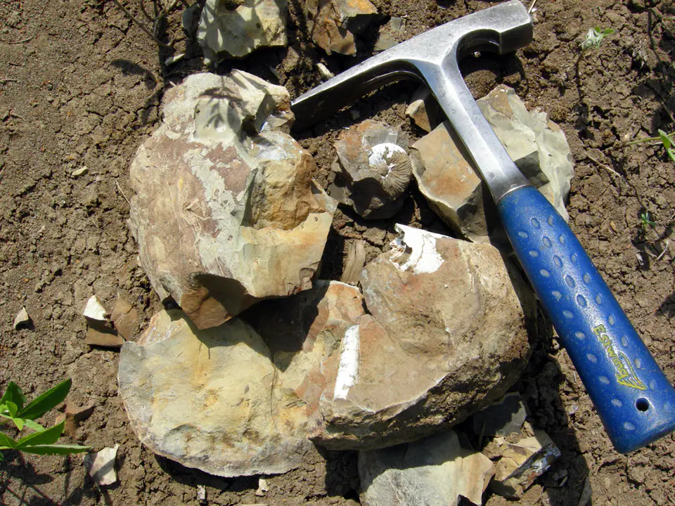
Ammonites, baculites, inoceramid bivalves, oysters, fish, sharks, marine reptiles, and microscopic organisms occur in the Pierre. Fossil zones defined by rapidly changing cephalopods help date and correlate members.
Concretions can preserve shells or bones in three dimensions, but many are unfossiliferous. Removing a concretion without recording its exact bed discards much of its scientific value.
Compare observable anatomy in the fossil identification guides, then review the U.S. fossil collecting-law guide before disturbing any find. A formation-level record does not prove a fossil is present, exposed, common, or legal to collect at a particular place.
Minerals and geological resources
Clay minerals make up much of the shale, accompanied by quartz, plagioclase, calcite, dolomite, and organic matter. Bentonite differs mineralogically from ordinary shale and commonly contains abundant smectite-group clay.
Pyrite, siderite, gypsum, jarosite, zeolites, and iron-manganese oxides occur locally. Weathering sulfides can create acidic, salt-crusted surfaces, while swelling clay contributes to landslides and infrastructure damage.
Identify rocks and minerals named in this guide
Use physical properties to investigate materials discussed above. A formation name or mapped location supports context, but it cannot identify a hand sample by itself.
What to know in the field
- Pierre slopes are prone to slumping and can fail after prolonged rain or river erosion.
- Dry bentonite may look firm but becomes exceptionally slick and adhesive when wet.
- Fossil collecting rules depend on land ownership and fossil type; roadcuts are not automatically public.
Formation, fossil, and mineral information is educational. It does not establish land ownership, legal access, collecting permission, specimen identity, or present-day field conditions.
Authoritative sources
This guide synthesizes the following sources in original language. Consult the linked records for local stratigraphic detail and the underlying scientific literature.
- Composition and properties of the Pierre Shale U.S. Geological Survey
- Geolex Pierre references U.S. Geological Survey
Editorial review: September 16, 2026.